Phone
+1 857 209 6440
Email
rebei@mit.edu
Autonomous Drones for Air Pollution Tracking (ADAPT)
Motion Planning, Wind Dispersion Modeling, Data Visualization, Sensor Integration, Automation

Project Overview
Ongoing project: Project Completion Spring 2021
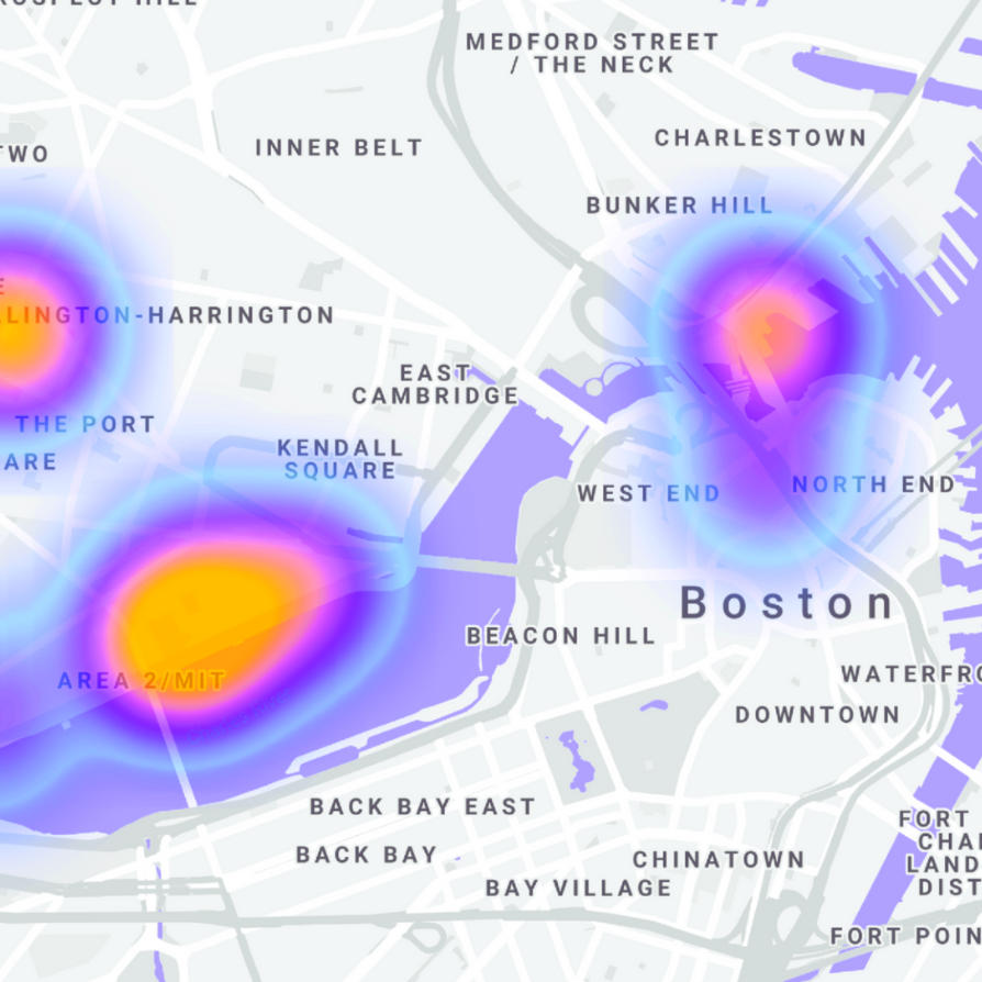
Over half of the world’s population has no access to official government data on air quality, despite the fact that nine out of 10 people breathe air containing high levels of pollutants. In the US alone, particulate matter 2.5 (PM 2.5) Levels cause 200,000 early deaths in the US each year. For decades, people living next to sources of pollution lacked evidence that could convince regulators and polluters that they were being harmed. We aim to create a network of autonomous UAVs with on-board PM 2.5 sensors that collect and share accurate and real time air quality data over large areas. Data will be displayed through a live, interactive web application.
People
Jeana Choi, Daniel Gonzalez-Diaz, Chloe Nelson, Rima Rebei, Berke Saat, Leilani Trautman
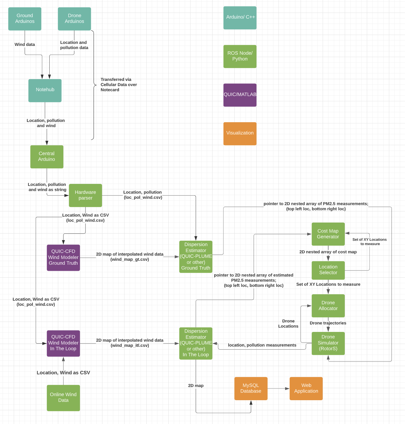
Control Architecture
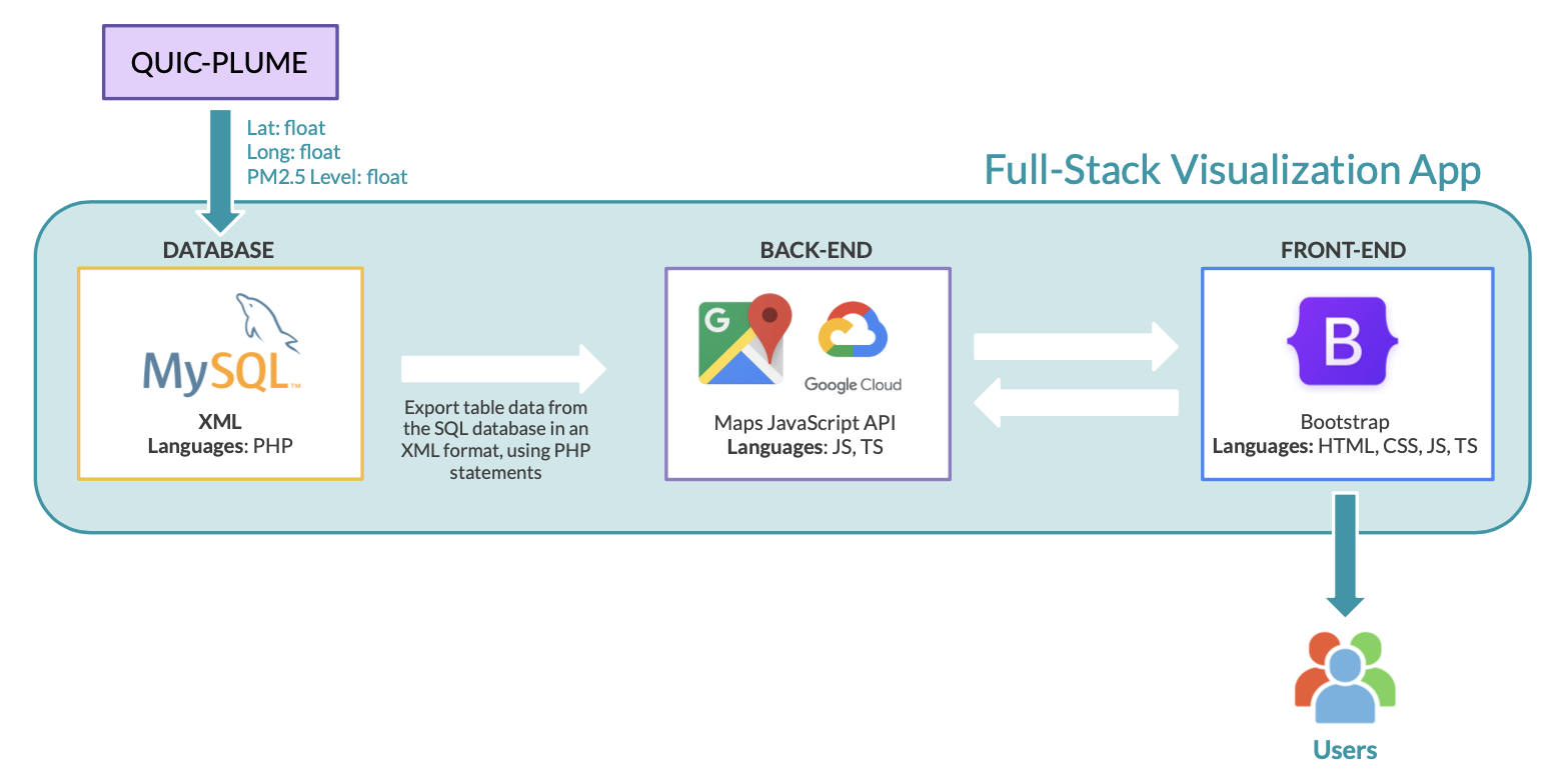
Air Pollution Visualization Web App Flow Chart
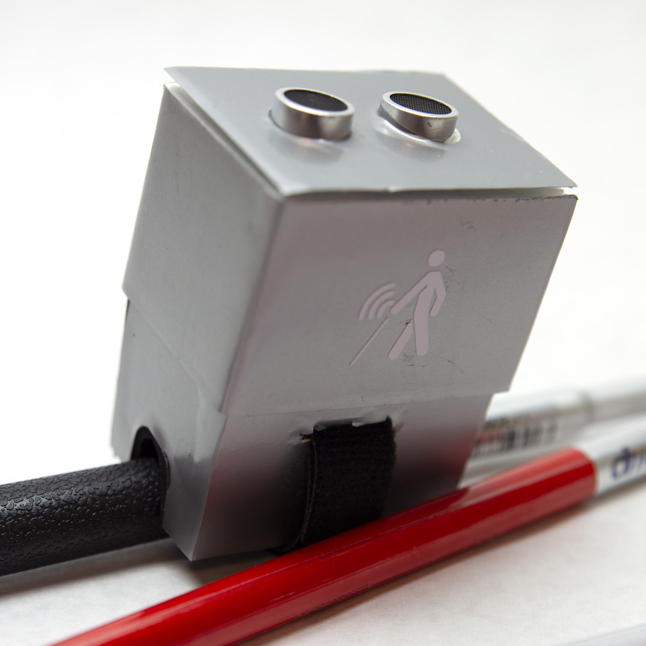
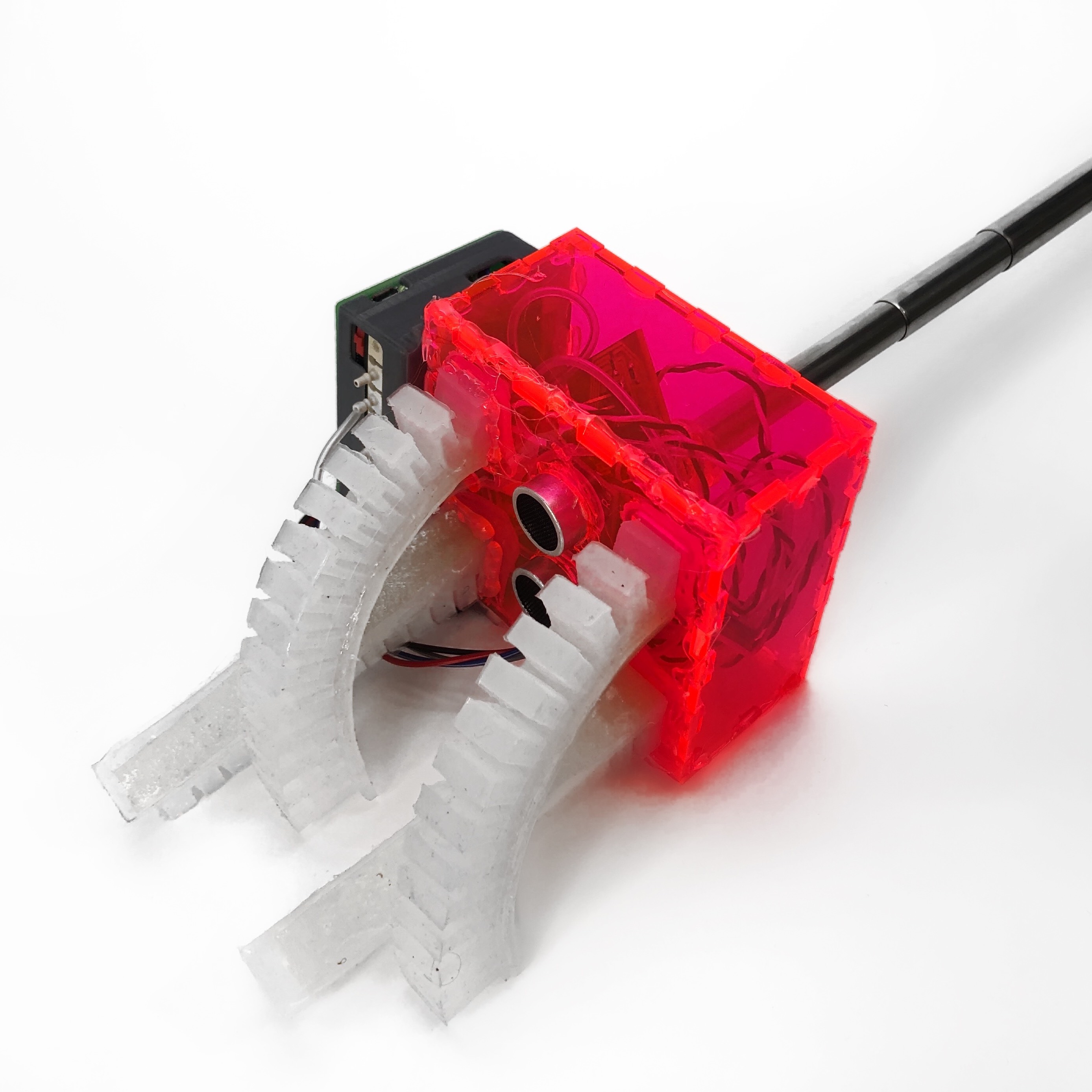
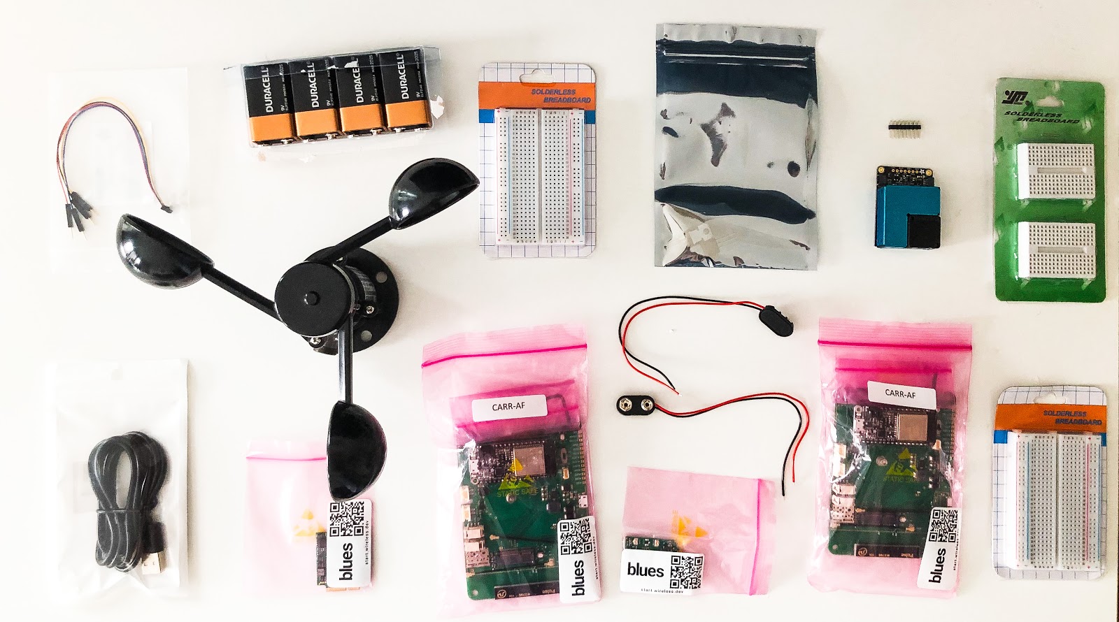
Hardware for Pollution and Wind Sensing and Cellular Data Transfer
Similar Projects
Click below to explore more of my projects!